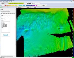
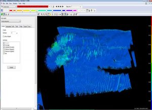
The data collected using the MBES system allow the high-resolution DTM extraction (using CUBE filters etc.) of the seabed. By the seabed mapping before and after the dredging operation, it is directly calculated, through the meter processing software, the exact sediments volume that were removed or added with precision and documentation. The software provides three-dimensional color depiction of the morphology of the seabed.


