Photogrammetry is the technique through which 3d models can be created using photographs. This technique recognizes the geometric properties of the area or an object by finding the position from which each photo was taken from a collection of images, and then identifies common points in each photograph by identifying where they are in the area and creating accurate data allowing us to extract detailed three-dimensional models.
Methodology
The orthophoto production and the model extraction will be carried out by applying a photogrammetric method to a series of aerial drone photographs combined with terrestrial methods using a GPS geodetic station and the 360 iSTAR Fusion metering camera. The production possibilities include:
- 3D model
- Orthographic views
- Orthophoto map
- Altitude data
- Volumetric data
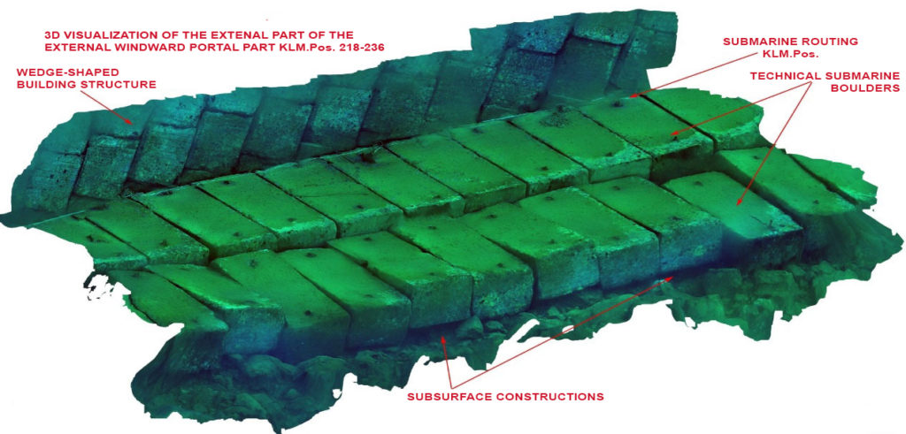
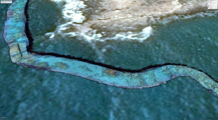
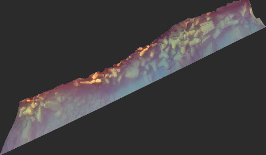
Subsea Photogrammetry samples
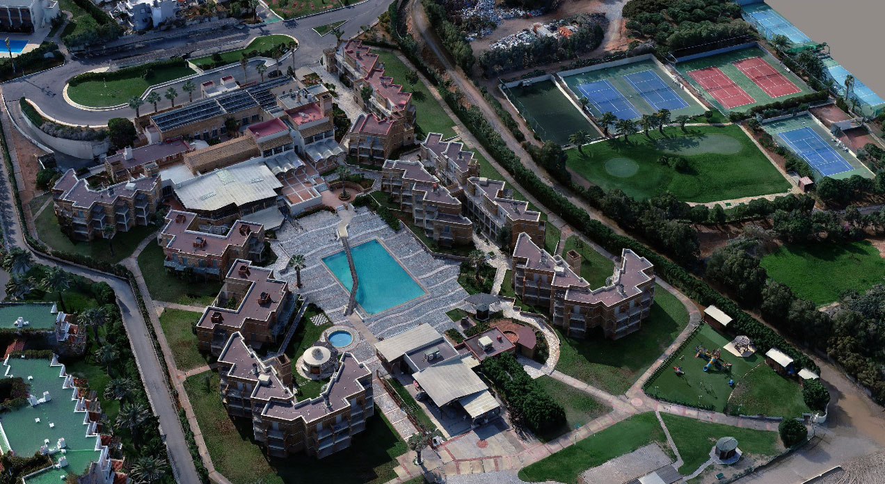
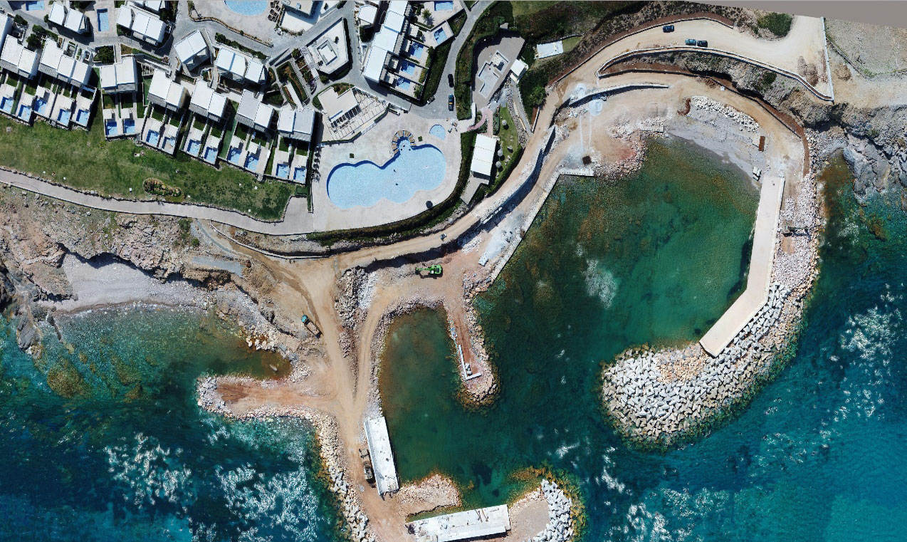
Land Photogrammetry samples