Detailed quay walls surveying and other construction techniques
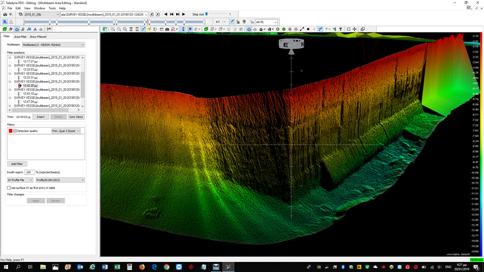
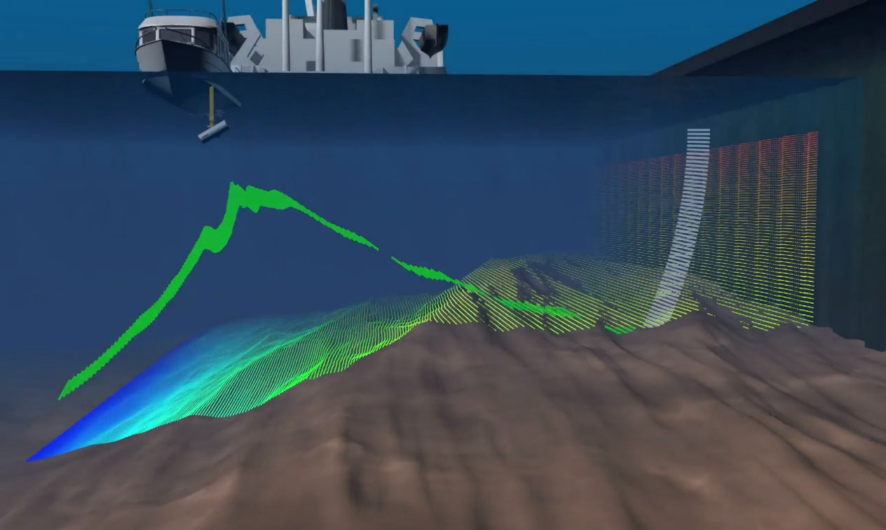
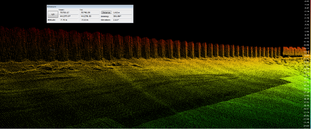
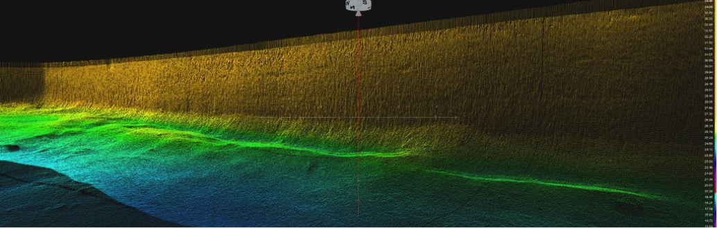
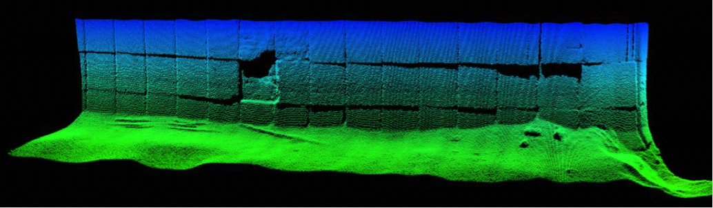
MBES provides beam headlamp angles greater than 160 ° as well as the ability to route the beam to objects of interest such as the piers of the port’s porters. In this way a detailed scanning of the existing state of these technical constructions is made, with obvious benefits in assessing their static proficiency. Accidental erosions, cavities and debris in quay walls and breakwaters can be easily identified with high precision through their three-dimensional image using MBES system. The user has the ability to dimension onto the cloud point directly after the data collection.
Methodology
From the collected three-dimensional scanning information of the quadrilateral, after processing, static proficiency models arise so that, in the case of spots, appropriate remedial actions can be proposed. The detailed mapping of the plateaus is done from the bottom of the seabed to almost the surface, with the Hydrographic vessel following along these paths. Even if there is a boat attached along the jetty, it is possible to capture the quay from the bottom to almost the depth of the hull.